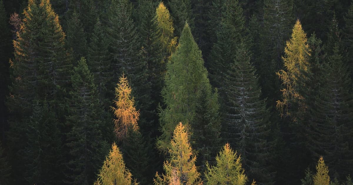
There is a moment, somewhere on the west side of Glacier National Park, when the trees thin and the world opens and you understand — not intellectually but in your chest — why people leave their lives behind to come here. The mountains don’t rise gradually. They erupt. The light falls at angles that make no sense at sea level. And the silence isn’t empty; it hums with something old and indifferent to human ambition.
Montana in summer is not a vacation. It is a test administered by geography. The passes are long, the climbs unrelenting, the water cold enough to reset something in you. Athletes who come expecting a backdrop for Instagram find instead a landscape that demands engagement. You don’t consume Montana. You negotiate with it.
That negotiation is the point.
Glacier: The Cathedral You Earn
Glacier National Park rewards the early riser and punishes the casual. In June, snowmelt fills every creek to a roar. The Going-to-the-Sun Road — 50 miles of engineering audacity carved into the Continental Divide — opens in stages through late spring, and by July its switchbacks are alive with cyclists grinding their way toward Logan Pass at 6,646 feet. There is no easy version of this road. The grades are merciless, the exposure vertiginous, and the reward — a panorama of hanging valleys and glacial cirques — is one of the finest in North American cycling.
Trail runners trace the Highline Trail above the Garden Wall, a route that hangs on the edge of the continent with nothing but air to the west. At dawn, before the day-hikers arrive, the path belongs to the runners — and to the mountain goats, who observe everything with the serene contempt of creatures that have never doubted their footing.
“The Highline doesn’t break you. It clarifies you.”
Climbers find their way to the limestone walls and quartzite faces scattered through the park’s backcountry. The rock here is ancient — Precambrian, formed before complex life existed — and it holds a different quality of silence than newer stone. Routes like those on Mount Siyeh and the Cathedral Peaks are not casual objectives. They require competence, self-sufficiency, and a willingness to move through country where help is days away.
Flathead Lake and the Open Water
Flathead Lake is the largest natural freshwater lake west of the Mississippi, and in July and August its surface temperature climbs enough to make open-water swimming not just possible but genuinely pleasurable. The water is clear to extraordinary depths — you can see the bottom at thirty feet — and the surrounding mountains give the experience a scale that pool swimming cannot approximate.
Athletes use Flathead as a training ground and a reset. After days in the high country, the lake offers recovery without surrender. Long swims along the eastern shore, where the Salish Mountains rise directly from the water, produce a particular quality of fatigue — the good kind, earned at a pace that lets the mind drift somewhere useful.
Connect with training partners, earn travel miles, and discover terrain worth crossing borders for.
Join ZealZagFollow us on InstagramThe Bitterroot Valley: Long Miles, Low Traffic
South of Missoula, the Bitterroot Valley runs for seventy miles between the Bitterroot Range and the Sapphire Mountains, and it is one of the best gravel cycling corridors in the American West. The traffic is light, the roads largely unpaved, and the elevation gain comes in long sustained climbs rather than sharp pitches — the kind of terrain that builds aerobic engines slowly and surely.
Canyon routes cut west into the Bitterroots every few miles: Bass Creek, Blodgett, Trapper Peak. Each offers a different character. Blodgett Canyon is dramatic and narrow, its walls rising seven hundred feet on either side. Trapper Peak, at 10,157 feet the highest point in the Bitterroot Range, draws trail runners willing to cover twenty miles and four thousand feet of gain for a summit that looks into Idaho on a clear day.
“In the Bitterroot, you stop thinking about the miles. You start thinking about the light.”
Big Sky and Whitefish: Infrastructure for the Serious
Big Sky in summer sheds its ski-resort identity and becomes something more interesting — a network of singletrack and high-altitude meadows that mountain bikers and trail runners have been quietly developing for years. The Lone Peak area offers technical terrain above treeline, and the resort’s lift infrastructure means athletes can access high-altitude routes without burning their legs on the ascent.
Whitefish, just outside Glacier’s western boundary, is the logistical hub for the park’s north end and a destination in its own right. The gravel riding out of town — toward Whitefish Lake, up into the Whitefish Range, east toward the park boundary — offers days of exploration without a repeated mile.
What Montana Does to Athletes
There is a specific condition that Montana induces in people who come here to train. It begins with humility — the mountains are so much larger than anything you have prepared for that the ego quiets, almost involuntarily. Then comes something harder to name: a recalibration of effort and reward. In places where the suffering is proportional to the scenery, where every hard climb ends at a view that earns the difficulty, athletes begin to remember why they started moving in the first place.
Montana strips away the metrics. The Strava segment stops mattering. The pace stops mattering. What matters is whether you made it to the top, whether you stayed in the water long enough to feel the cold become warmth, whether you found the line through the crux and committed to it.
“Montana doesn’t care about your PR. That’s why you come back.”
Finding Your People Through ZealZag
Montana’s athletic community is dispersed and self-contained — locals who run the high routes every summer, cyclists who have memorized every gravel road in the Bitterroot, climbers who know the backcountry crags that don’t appear on any published topo. These are not people who advertise their knowledge. But they share it freely when asked.
ZealZag exists to make that connection possible. Visitors can find local athletes across Missoula, Whitefish, Bozeman, and the Flathead Valley who have posted their routes, their conditions reports, and their availability for link-ups. This is the part of travel that guidebooks cannot replicate: the specific, earned knowledge of people who live inside a landscape and move through it every week.
Getting to Montana
Missoula Regional Airport (MSO) serves as the natural gateway to the Bitterroot and a reasonable base for Glacier. Kalispell’s Glacier Park International Airport (FCA) is the closest entry point to the park’s west side. Bozeman Yellowstone International (BZN) handles Big Sky and the state’s southern corridor.
Car rental is essential. Montana is not navigable on transit, and the distances between objectives require a vehicle. June brings lingering snowpack on high routes. July is the peak: long days, open terrain, warm enough for Flathead Lake swimming. August cools fast at elevation. Fire season can close trails and degrade air quality in August.
- Fly into Missoula, Kalispell, or Bozeman
- Car rental essential
- June: snowpack lingers on high routes
- July: peak season, longest days
- August: cools fast, fire season possible
- Book accommodation early — summer fills fast