Chamonix for Trail Runners: The UTMB Corridor and What the Trails Actually Ask
By ZealZag TeamChamonix sits at 1,035 metres above sea level in the Arve Valley, hemmed in on both sides by the biggest peaks in the Western Alps. The town of roughly 10,000 permanent residents has built an entire economy around mountain sports, and trail running occupies a specific and dominant corner of it. The 170-kilometre Tour du Mont-Blanc that circles the massif through France, Italy, and Switzerland — with 10,000 metres of elevation gain — is the context for some of the most watched trail running in the world. But the valley is not just the UTMB race corridor. It functions simultaneously as a training ground, a destination for visiting runners at every level, and a high-altitude environment that imposes its own terms on how fast and how far you can move.
The Terrain Structure
The valley runs roughly 16 kilometres southwest to northeast from Les Houches to Argentière, with Chamonix town at its centre. Trails operate on three altitude bands, each with different seasonal windows and different demands.
Low valley trails (1,000–1,400m) are accessible from May through November, including the valley floor paths, forest routes above Les Praz and Argentière, and the lower glacier flanks. Useful for warm-up runs, easy recovery days, and weeks in late spring or early autumn when high trails are still under snow or have returned to it.
Mid-altitude trails (1,400–2,200m) are the primary training zone for most visiting runners and are accessible from June through October. This band includes the Grand Balcon Nord — a north-facing traverse from Chamonix to Argentière, approximately 10 kilometres of rolling terrain with the entire Mont Blanc massif visible across the valley — and the Grand Balcon Sud, connecting the Flégère gondola station to the Planpraz area above Les Praz. These are the spine of the CCC (Courmayeur-Champex-Chamonix), one of UTMB week's headline races.
High-altitude terrain (2,200m+) is accessed via the valley's cable car and gondola network — Plan de l'Aiguille (2,317m) from the Aiguille du Midi cable car's lower station, La Flégère (1,877m with hiking above), the Grands Montets above Argentière — or via long foot approaches. Above 2,200m, snowpack persists into late June and returns in September. Some routes at this level cross glacier margins or boulder terrain that requires scrambling competence; the high-altitude trail runs that look like single-track on a map sometimes require significantly different movement than trail running.
Key Routes
Grand Balcon Nord (Chamonix to Argentière): approximately 10km point-to-point with around 400m of rolling elevation gain. The north face of the Aiguilles — Aiguille du Midi, Aiguille Verte, Grandes Jorasses — stays close throughout the traverse. One of the best views in the Alps from running terrain. Accessible from June through October; expect other runners, guided groups, and hikers on summer weekends. It is the valley's most trafficked trail corridor.
Col de Voza circuit (from Les Houches): the Col de Voza sits at 1,653m above Les Houches, the western end of the valley, and is the opening climb of the UTMB race. A typical circuit: Les Houches → Col de Voza → Bellevue → return, approximately 800m of gain over 10–12km on a steady, non-technical ascent. Accessible from Les Houches village on the Mont-Blanc Express rail line (which runs Chamonix–Les Houches in under 10 minutes).
Aiguillette des Posettes (from Argentière): above the eastern valley, the Aiguillette des Posettes ridge (2,201m) offers a half-day circuit from Argentière with views back down the full 16-kilometre valley and across to the Swiss border. Approximately 700m of gain; rocky terrain in the upper section requiring some foot attention.
Tour du Mont-Blanc sections: the full 170km TMB is divided into 11 stages. Individual stages are accessible as out-and-back or point-to-point day runs without committing to the full circuit. The section from Courmayeur (Italy) to Champex (Switzerland) via the Grand Col Ferret — passing at 2,537m with wide views into the Mont Blanc glacier system — is among the most dramatic and forms the core of the CCC course. Reaching Courmayeur from Chamonix takes approximately 30 minutes by car through the Mont-Blanc Tunnel.
Connect with training partners, earn travel miles, and discover terrain worth crossing borders for.
Join ZealZagFollow us on InstagramAltitude and Acclimatization
Chamonix town sits at 1,035m — low enough that altitude has minimal direct effect on sleep or daily function. The training trails rise from that baseline to 2,200–2,500m in an hour or two of running. That step has a real physiological effect on effort: expect 10–20% pace reduction on steep uphill sections at 2,000m+ compared to equivalent gradient at sea level, particularly in the first two or three days.
Build acclimatization time into the start of any trip. One or two days of moderate-intensity running at mid-altitude before attempting high-altitude efforts is a reasonable baseline. Runners who typically train near sea level should not attempt race-pace efforts above 2,000m on day one — the acclimatization process for most people runs 48–72 hours before noticeable adaptation begins.
UTMB Week
Late August — typically the last full week of the month — is UTMB week: the Ultra-Trail du Mont-Blanc (170km, 10,000m+) alongside the CCC (100km), TDS (145km), OCC (55km), and shorter races including the MCC and YCC. The valley operates at a different scale during this week: approximately 10,000 runners enter across the events, with additional crowds of spectators gathering at key points on each course.
Popular spectator positions include the Col de la Seigne on the Italy–France border (UTMB route), the Lac Blanc area above the Grand Balcon Nord (CCC), and the Flégère gondola station above Chamonix. Chamonix's finish line on the main street draws large evening crowds for the final hours of each race.
Running in the valley during UTMB week without racing is a reasonable approach for athletes who want the atmosphere without a race entry: you can use non-race trails without interference, spectate from accessible trail sections, and watch finishers arrive in Chamonix through the night. Town accommodation runs at full capacity and charges accordingly — book four to six months ahead for August stays.
Getting There
Geneva Airport (GVA) is the standard entry point, approximately 90km and 1.5 hours from Chamonix by road. Direct shuttle buses run year-round from the airport to Chamonix town centre (operators include CEM and multiple private transfer services), with journey times around 1h 15min depending on traffic near the Mont-Blanc Tunnel approach. The Mont-Blanc Express train connects Martigny, Switzerland (itself reachable from Geneva by Swiss rail) to Chamonix via Les Houches and Argentière; the journey from Martigny runs approximately 1h 10min.
Car hire from Geneva provides flexibility for accessing multiple trailheads across the valley and for day trips to Courmayeur through the tunnel. Parking in Chamonix town centre is metered in summer; free parking is available at Les Houches and Argentière village.
Accommodation
Chamonix town has the full range from shared hostel rooms to mountain-view hotels. Les Houches (western end, under 10 minutes by train) and Argentière (eastern end, 10 minutes) are quieter, somewhat cheaper, and position you closer to specific trailheads — Les Houches for the Col de Voza corridor, Argentière for the Grand Balcon Nord and the Aiguillette des Posettes.
Mountain huts in the valley accept bookings through the Club Alpin Français system and individual hut websites. Key refuges for the running corridor include Refuge du Lac Blanc (2,352m, above the Grand Balcon Nord, with direct views to the Mont Blanc massif), Refuge de la Flégère (1,877m), and Refuge Albert 1er above Argentière. August bookings open in January or February; don't wait.
Who the Valley Suits
Chamonix suits trail runners who want sustained training terrain in the 1,000–2,500m range backed by a professional support infrastructure — specialist trail running shops, sports physios, sports massage, shoe fitting services — that is matched by very few mountain destinations outside the Colorado Rockies. Route-finding is well-signposted with yellow trail markers and consistent IGN map coverage; the lift network provides altitude access without requiring full-day approaches.
It does not suit athletes seeking solitude on a summer weekend. The Grand Balcon trails are busy, the valley is a well-established international destination, and UTMB week is the least quiet experience available anywhere in European trail running. For comparable mountain terrain with fewer people, the Écrins massif south of Grenoble or the Valle d'Aosta south of the Mont Blanc massif offer similar altitude bands with substantially less competition for trail space.
Keep reading
Heat Acclimatization Before a Summer Ultra: Why You Can't Just Hope for Cool Weather
The biggest summer ultras — Western States, Hardrock, Leadville, UTMB — send athletes through environments where heat is a primary physiological stressor, not a background variable. Arriving without deliberate heat preparation is a choice that shows up in the canyons, not on paper.
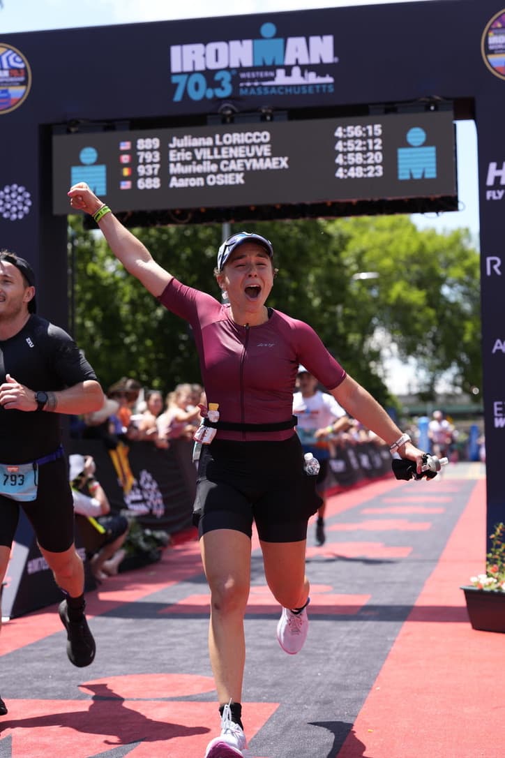
Running in Purple
A Law Student’s Journey Beyond the Finish Line.
Tarifa: The Strait Wind Capital That Makes and Breaks Kitesurfers
At the southernmost tip of continental Europe, where the Atlantic forces itself through the Strait of Gibraltar to meet the Mediterranean, Tarifa has been the default kitesurf destination for European athletes since the sport found commercial footing in the late 1990s. The wind is the reason. The town, the culture, and the logistics are worth understanding before you commit to your first trip.